

Finally went for a hike today. Have not done much of this all summer for various reasons, except for my vacation in Wyoming (Yellowstone and Grand Teton National Parks).
Today I wanted to hike to upper Alamo Canyon, starting from Ponderosa campground. The map of this 9 mile round trip hike appears below.

The elevation profile appears below, and as can be seen this was a pretty simple hike.

The hike begins with an easy, if somewhat unremarkable, stroll through a ponderosa pine and scrub oak forest. The NPS has been thinning trees in this area.

After bout 1.28 miles, the descent into Frijoles canyon begins.

There is a sharp decent on this south side into Frijoles to the upper crossing of the creek.
Here, continue south to cross back out of Frijoles. If you head east, you will walk down Frijoles to the visitor center (which I did on the "slog" hike I blogged about previously). If you head west, you head toward Apache Springs. I was going toward Alamo canyon, which is toward Yapashi, Stone Lions, and the painted cave.

The hike out of Frijoles on the south is longer than the decent on the north side, but not as steep. Some photos along the hike out follow.
Looking roughly west down Frijoles.

Looking across to the south side of Frijoles.
Looking due east toward the vistor center. This is near the top of the south rim.

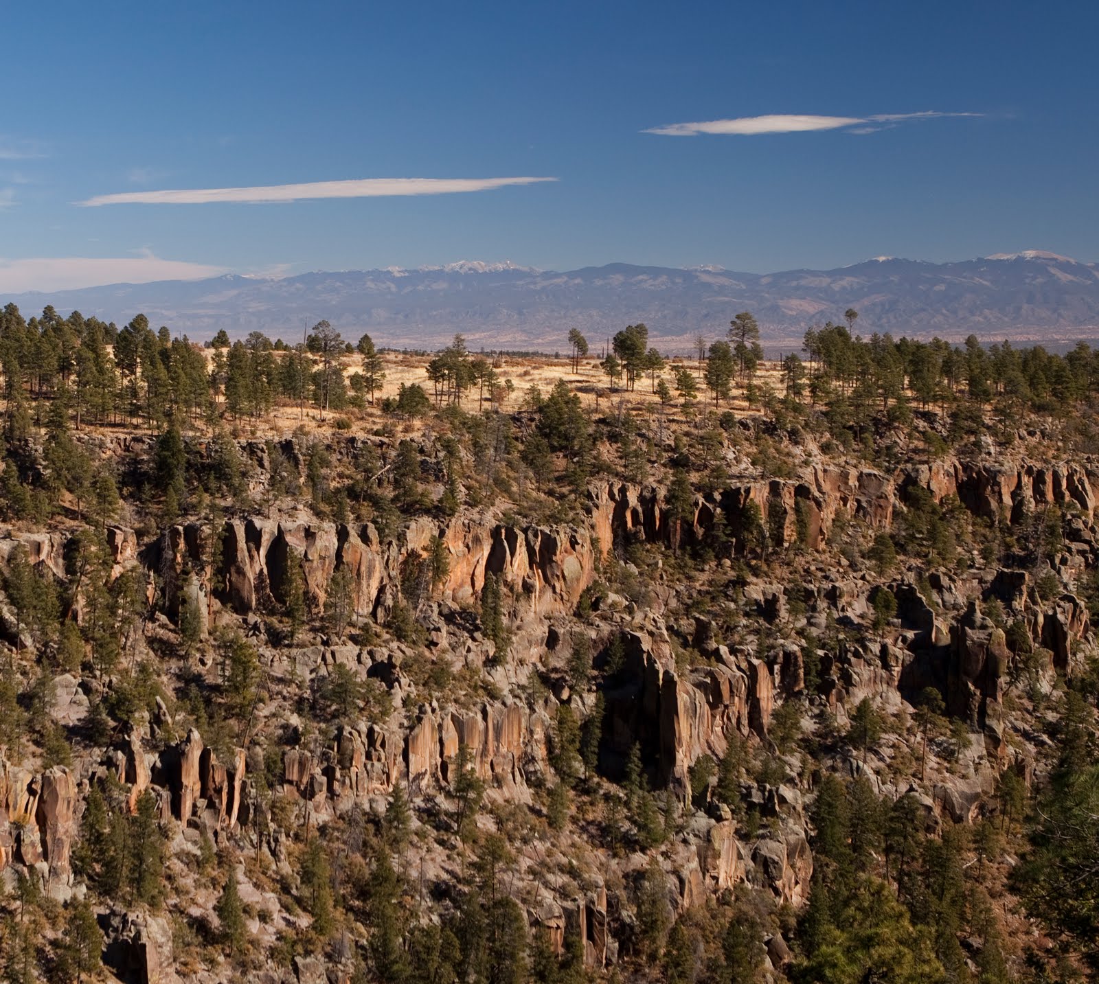
Once out of Frijoles, the view opens up.

On the way to upper Alamo, I encountered the scattered bones of a very large elk.


I say the elk was big because the spinal column was larger around than my fist.
Eventually, you arrive at Alamo canyon.


At this point, I turned around. I will close with some additional images from the hike.


I did not climb out the south side of Alamo, but this looks to be an easier approach than mid-Alamo is (which is what I used to go to the Stone Lions).
1 comment:
It's never too late to start blogging again, Stephen.
--Jim
Post a Comment